


Poole flood defences: what it means for you
If you’ve spotted activity around Holes Bay recently, here’s what’s going on — and what it could mean for your day-to-day travel around Poole.
Preparations are now underway for 1.5km of new flood defence infrastructure from Poole Bridge to Hunger Hill. The aim is to reduce tidal flood risk in Poole town centre, Poole Old Town and surrounding areas over the next century, as sea levels rise.
Why the work is happening
Bournemouth, Christchurch and Poole Council (BCP Council) says the eastern side of Holes Bay is the last remaining undefended waterfront in the town centre.
The council says:
- Over 570 properties currently face a present-day flood risk
- If nothing was done, that could rise to more than 2,000 properties over the next 100 years
The scheme is being delivered by BCP Council in collaboration with the Environment Agency, landowners and other organisations. The defences are designed to adapt as sea levels rise and support long-term regeneration.
Where you’ll notice changes
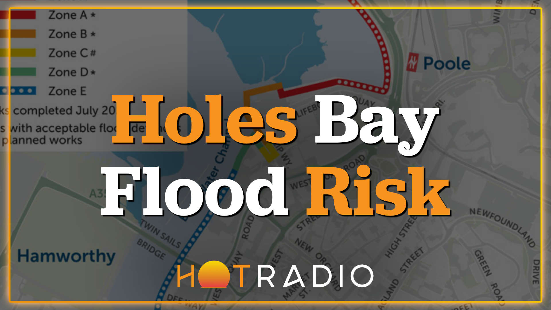
The release highlights several areas and phases of the wider scheme:
- Slip Way (Zone C) — ground raising works between the RNLI buildings were completed in July 2025
- A350 / Holes Bay path and Lifeboat Quay (Zone A) — preparation for the next phase started on 18 May
What it means for drivers
To carry out preparatory activities safely, contractors Knights Brown say a temporary lane closure on Holes Bay Road (A350) will be re-introduced.
If you drive through that area regularly, it’s worth allowing a bit of extra time — especially at busier times of day.
What it means for pedestrians and cyclists
If you walk or cycle along the Holes Bay path, the current intention is to keep the path open for as long as possible.
However, Knights Brown says that when the path becomes part of the construction site, access will be restricted and a diversion route will be re-instated via Sterte Green.
Their message is simple: use the alternative route when it’s in place, for the safety of everyone using the path and nearby roads.
Environmental considerations (and why timing matters)
Holes Bay is described as a highly protected area, with wildlife including migratory birds, breeding fish and seahorses. That affects when and how work can take place.
BCP Council says the project team and partners have been working to finalise approvals and deliver the defences within the available environmental working window.
Staying updated
BCP Council says it will continue working with those directly impacted by the scheme and will keep residents updated.
If you want to follow official updates, the council points residents to the Poole Bridge to Hunger Hill Flood Defence Scheme information page and the scheme’s zones map.
For media enquiries, the release lists: press.office@bcpcouncil.gov.uk.